By Ken Kehmna, Fire Chief (Ret.)
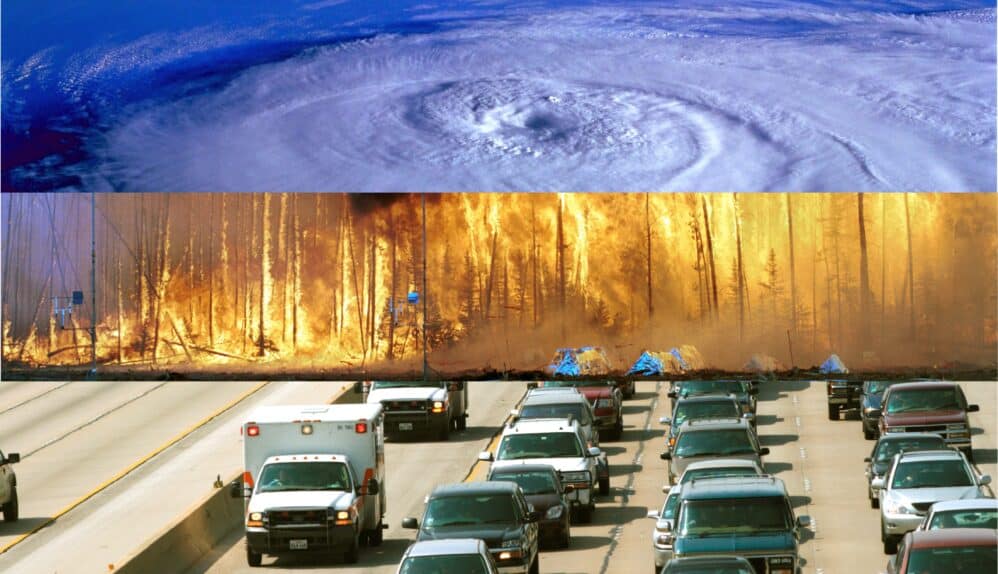
The western United States is no stranger to extreme weather events. Recent years have reminded us all how devastating they can be, particularly atmospheric river-induced floods. These meteorological phenomena, which funnel vast amounts of moisture from the ocean onto land, can lead to significant flooding, especially in California.
As these events become more frequent and intense, the need for effective emergency communications and preparedness strategies has never been more critical. First responders and emergency managers are developing some innovative ways to ensure communities can respond swiftly and efficiently to the challenges posed by atmospheric rivers.
Harnessing Advanced Warning Systems
The advent of sophisticated meteorological technology has greatly enhanced our ability to predict atmospheric river events and potential flooding zones. By integrating real-time data analysis with atmospheric models, first responders can now receive advanced warnings, giving them a crucial head start in preparations. Given that atmospheric river-induced flooding events impact large swaths of area and multiple counties and agencies simultaneously, cross agency collaboration is invaluable in the overall response.
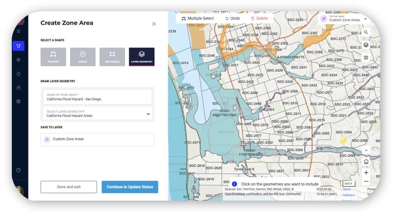
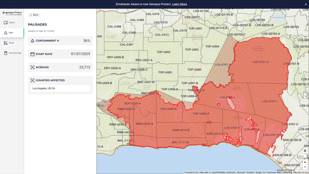
Equally important, are advanced technology tools that can prepare communities on responses during evacuations including self-service zone-based apps that accurately share alerts & instructions, evacuation routes, and other critical information directly from first responders, emergency managers, and the emergency operations center managing the floods.
Strategic Use of Social Media and Mobile Applications
In the digital age, social media platforms and mobile applications have become indispensable tools for emergency communication. These channels offer a direct line to the public, providing real-time updates, safety tips, and evacuation information. Using best practices for leveraging these platforms to reach your community quickly and effectively ensures that critical information is accessible to all, especially in flooding zones identified by address or region.
Implementing Zone-Based Evacuation Plans
Zone-based evacuation plans have emerged as a key strategy in effectively managing the safe and orderly movement of people in response to imminent flooding threats. By dividing regions into manageable zones with specific evacuation routes and shelters, authorities can minimize traffic congestion, confusion, and potential for loss of life.
Strengthening Community Preparedness and Response
Community preparedness enables orderly flow through education and outreach that strengthens an effective emergency response. This means not only ensuring that individuals and families have the knowledge and resources to react quickly when flooding occurs but also fostering a culture of resilience and mutual aid.
Emergency responders and community officials have done a commendable job in educating the public about atmospheric rivers and flooding in California allowing for emergency and community response teams to act swiftly when disasters strike.
The Power of Coordinated Efforts
Most important is collaboration and cooperation between first responders, emergency managers and key stakeholders whose ability to work together is the foundation to the path forward and building more resilient communities. The ability to share accurate situational awareness and create a common operating picture during an emerging incident, like flooding, is key to developing a winning strategy and managing a coordinated regional response.
To Sum Up
As atmospheric river events become increasingly common, the need for innovative and coordinated emergency communications strategies is paramount. By harnessing advanced technologies, leveraging digital platforms, implementing strategic evacuation plans, and fostering community preparedness, we can ensure that our response to these natural disasters is as effective and efficient as possible.
Contact Genasys to learn more about Genasys Protect Platform — the most comprehensive suite of preparedness, response, and analytics software and hardware or read our case study citing multiple counties in California.


